

Few debates in international security in recent years have been as persistent and consequential as the ones about technology. Drones, autonomous systems, and artificial intelligence are said to be compressing time, space, and distance, as well as rewriting the conventional rules of deterrence. Much of this analysis is persuasive and it has shaped how we think about the offense-defense balance, national sovereignty, and the conduct of military operations.[1] But it can also leave the impression that technology and capability alone can overcome the constraints of geography.
This issue of Orbis, “The New Cartography of Conflict,” starts from a different premise: The territory stays relatively consistent even as technology redraws the map. Technology can change how states see, reach, and depend on one another, but it works through terrain chokepoints, infrastructure, and supply routes that remain stubbornly physical and immutable. Alliances may be able to do some of that work by bridging some geographic divides, but they also create new strategic boundaries and dependencies.
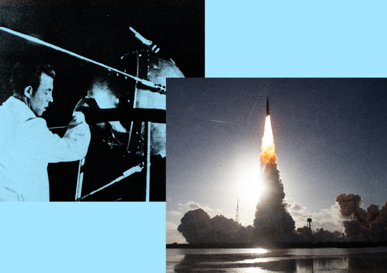
The question of who and what draws the map is not a new one in the pages of this journal. When Robert Strausz-Hupé introduced Orbis in 1957 with “The Balance of Tomorrow,” he called for “the unification of the globe” under US leadership. His argument grew out of a moment of profound change in world order, in the wake of World War II, and it rejected a return to what he regarded as an unstable multipolar balance of power. Instead, he proposed that the United States lead a broader political order. The world today looks very different, but his underlying question endures: How do states organize themselves and adjust to one another, across a global map that technology has reshaped but not overcome?
” How do states organize themselves and adjust to one another, across a global map that technology has reshaped but not overcome?”
The essays in this issue do not focus exclusively on geography but they do encourage us to consider how geography conditions the effects of technology, as well as political change. New technologies and relationships can alter how states use geographic advantages, understand vulnerabilities, and move people, goods, and military power across space and territory. A technological advancement may prove less effective in difficult terrain or depend on vulnerable supply chains and infrastructure that in turn create new dependencies. Climate and extreme weather can affect military operations and even the cadence of commercial and national-security space systems. Geography shapes when, where, how, and with what limits technology can be used.
“Geography shapes when, where, how, and with what limits technology can be used.”
The essays that follow take up these questions in various contexts, moving from how states perceive geography to how they fight and ally across it. Articles by Chad Nelson and Lawrence Kaiser begin with the strategic perspective: how America’s own geography has shaped its foreign policy, and how misreading China can lead policymakers astray, respectively. Junyang Hu and Jiayu Lai turn to material connections, tracing the supply chains that bind the United States and China. Lionel Beehner and Oleksii Poltokarov then move to the battlefield, where digital systems change how soldiers see and fight across terrain. Finally, Torrey Taussig and Miranda Priebe consider alliances, and how NATO might manage physical distance, access, and responsibility as the roles of the United States and Europe are rebalanced.
Taken one at a time, the essays show these dynamics play out in practice. Nelson’s “A Geopolitical Perspective on American Exceptionalism” examines how America’s geography, its two oceans, neighbors, interior, and waterways, has shaped its political development and its foreign policy. His argument raises a germane question to contemporary US foreign policy: if America’s advantage comes from its own geography, what does an insular position mean for US commitments overseas?
Geography also shapes how policymakers interpret other states. Kaiser’s “The China We Want to See: The Persistent Danger of Strategic Misdiagnosis” highlights the risk for the United States of viewing China through the wrong strategic lens. Treating China primarily as a maritime challenger, an economic competitor, or some combination of the two can lead policymakers to misjudge where competition is likely to occur and what forms it will take. This has wide-ranging implications for international politics.
Hu and Lai’s “The New Geography of America’s China Dependence” explores the material connections between the United States and China. Supply chains link (geographic) places through routes and ownership, and efforts to reroute production or “friendshore” with allies and partners can change those connections without eliminating dependence. The result is a fast-changing economic geography that determines the extent to which strategic autonomy is possible.
The physical geography of the battlefield, meanwhile, remains consequential even as technology changes the nature of the fight. In “How the Gamification of the Battlefield is Reshaping War,” Beehner and Poltorakov examine how digital systems and remote operations affect the conduct of warfare. While the fighting takes place across terrain, where treelines and rivers shape movement and exposure, screens and remote operators put physical distance between soldiers and the battlefield. The technology changes how combatants see and engage with the battlefield, but it does not make the ground irrelevant.
Geography is also central to the organization and efficacy of collective security organizations, such as NATO. Taussig’s “NATO 3.0: Why a Stronger Europe Still Requires US Leadership” outlines why greater European security capacity may still depend on American leadership from across the Atlantic. Priebe’s “How to Deliver on NATO 3.0” proposes how a stronger European leadership in the alliance might be delivered. While the two essays approach the future of the alliance from different angles, they both raise questions of distance, access, reinforcement, and responsibility. Contested spaces in the Baltic, Black Sea, and High North are geographically far from the United States and deterrence depends in large part on how quickly alliance forces can traverse difficult terrain. Here technology plays a major role.
“Read together, these essays suggest that geography is not a feature that technology has yet overcome. “
Read together, these essays suggest that geography is not a feature that technology has yet overcome. Terrain and other physical features endure, while technology, infrastructure, supply chains, and alliances continually change how states engage with them. One thread runs through this issue: distance. Technology collapses some distance and creates others. A remote operator can fight from behind the front yet supply chains that sustain the fight may stretch along contested routes or create dependency. Allies can now share information instantaneously, yet no system can bridge the transatlantic gap. Nelson’s question about what an insular America owes its allies is the one Taussig and Priebe take up for NATO 3.0: who bears responsibility for the periphery and how quickly can it be reached?
Strausz-Hupé looked toward an international system unified under American leadership. Nearly seven decades later the picture is less of unification, than of a map being redrawn, contested, yet still anchored in physical space. The states and non-state actors best placed to succeed will be those who can employ geography and use its terrain, routes and partnerships to its advantage. The essays in this issue offer a starting point for that task.